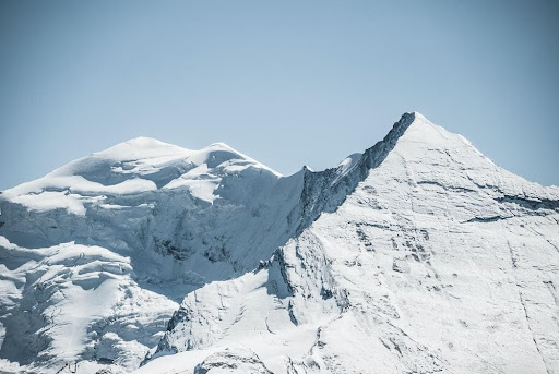
The Indian Institute of Remote Sensing (IIRS) in collaboration with the Uttarakhand State Disaster Management Authority (USDMA) to assess mountain hazards to mitigate landslides.

The Indian Institute of Remote Sensing (IIRS) has collaborated with the Uttarakhand State Disaster Management Authority (USDMA) to assess mountain-related hazards using satellite remote sensing technology. The MoU declares that they will be monitoring glaciers, landslide zones and areas prone to avalanches and even floods. The state has suffered various disasters and more so recently, causing loss of life, natural resources and economy. Proper study and analysis of the terrain will allow the government to set up mitigation strategies and relocate people to reduce the impact of these disasters. The USDMA has announced to allocate 3 Crore to the IIRS for regular monitoring of the mountainous phenomenon in Uttarakhand.
The USDMA said that technical assistance and straining will prove beneficial to tackle the problem of recurrent natural disasters in the state. The institute has previously done many researchers on the terrain of Kedarnath and Uttarkashi districts of the Himalayan region and have been continuously monitoring the rivers, avalanches and other activities going on in the region.
A CSR Initiative of

Designed and Executed by

Implemented by


 Technology is a useful servant, but a dangerous master, it was rightly said. Electronic devices have grown into an inevitable part of our daily lives.